Hope everyone has been doing good and getting ready for spring. Snow returns after a week of warm summer like weather here in the Upper Peninsula. A couple days last week were near 80 degrees which caused some flooding situations across many areas of the Upper Peninsula. Not only the warm weather but on Saturday we saw some heavy rain and thunderstorms move through which brought 1/2 inch to 1 inch of rain which caused even more problems. If you are a waterfall addict like myself it surely is a great time to be out viewing waterfalls as all of them are raging and will be for the next few weeks as the warm weather returns.
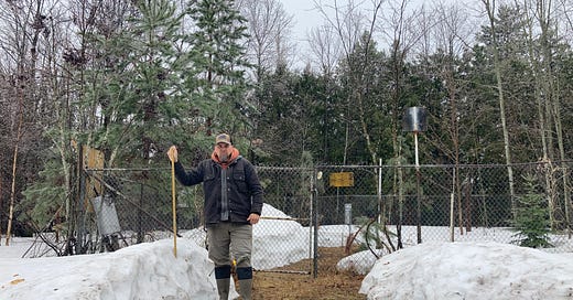
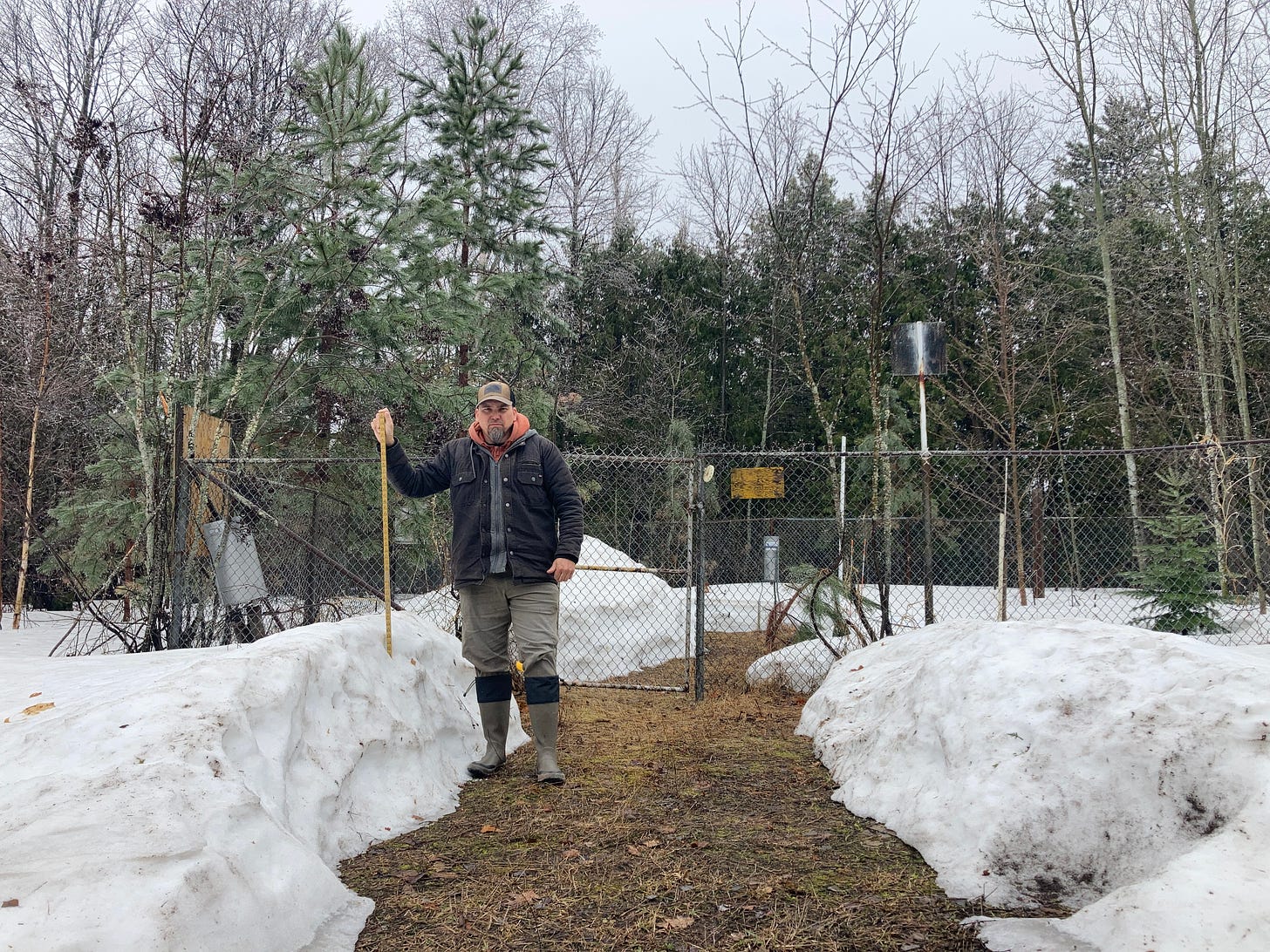
Below: April 16th while measuring the on ground snow levels at Tamarack loc.
Below: April 17th while measuring snow that fell yesterday at Tamarack loc.
Most of the higher reported snowfall amounts today were out of the Western UP. Light snow was falling most of the day through much of the UP, but again most of the higher amounts should be coming out of the western UP for tomorrows reports. As we look forward this week temps will get into the upper 30s and low 40s. Expect some rain Thursday across much of the UP with some snow returning on Friday and maybe extending into the weekend with some flurries.
Below: 4.12.23, Flooding outside Houghton on Boundary Rd. after 80 deg day.
Snow totals below, expect another snow update tomorrow.
Keep reading with a 7-day free trial
Subscribe to The Yooper Report to keep reading this post and get 7 days of free access to the full post archives.


