


U.P. Snow totals Dec 5/6/7th
Little snow the last few days, but it returns this week

The last couple days we have been a bit warmer but I’ve still had measurable snowfall, in fact at the Calumet/Tamarack station I’ve had snow for the last 14 days. This week that streak should continue as I am seeing cooperative conditions for snow all week.
We have 8 snow stations with at least 50 inches of snow with a few more very close. With more snow in the forecast for the next week, it will keep creeping up and we will see our first station hit 100 inches for the season, I would assume by Christmas that should happen. Last year we only saw 19 snow stations out of over 75 I had listed here last year to reach at least 100 inches. My station Calumet/Tamarack loc station hit 100 inches on Feb 9th, 2024.
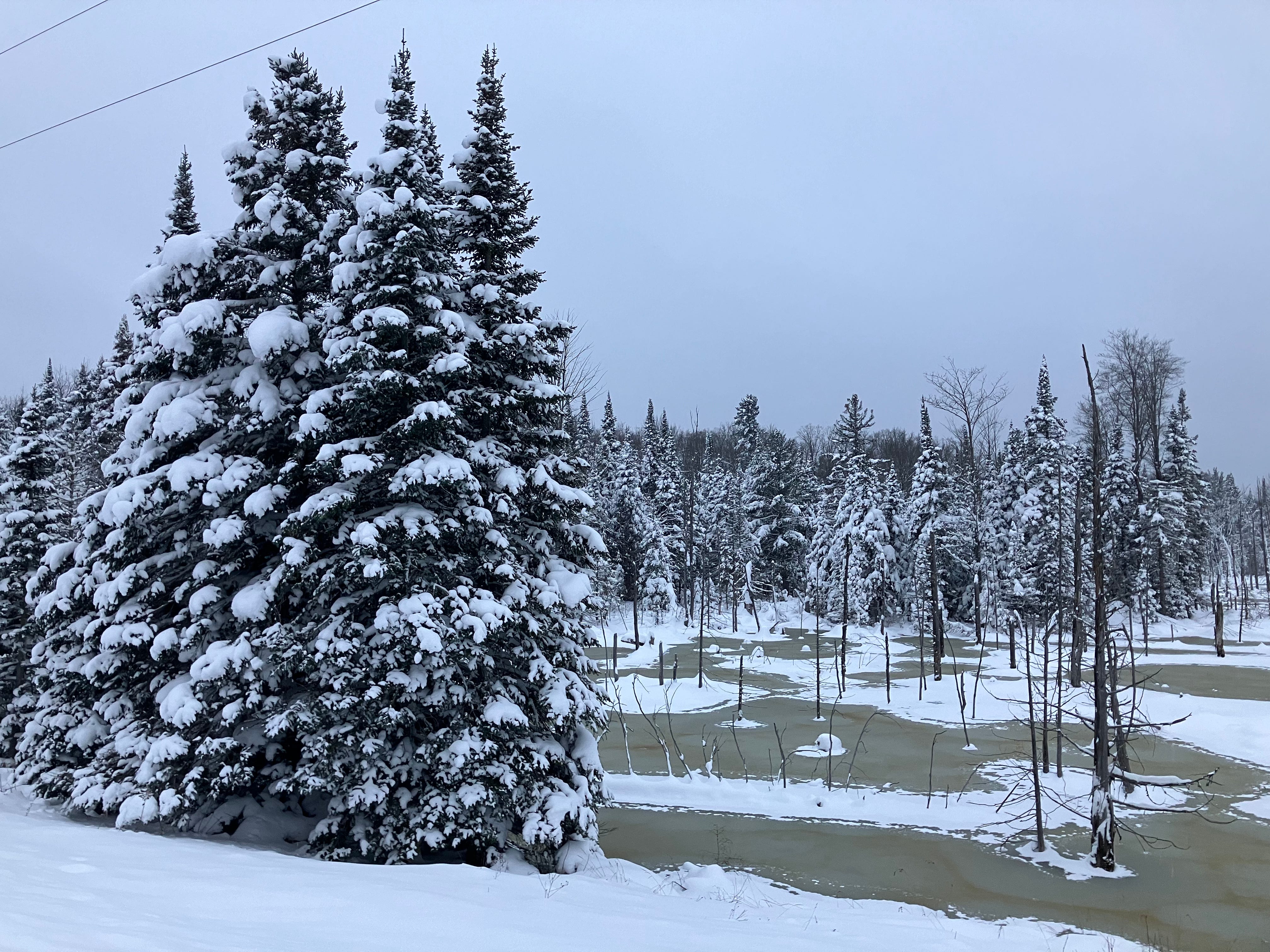
This slight warmup hasn’t really hurt the snowmobile trails, downhill ski hills, or the cross country trails. Snowmobile clubs across the U.P. are reporting plenty of wet spots and thin areas in many spots on their trail systems. Some spots are closed because of large water holes or mud holes until more snow arrives and cold weather can freeze them up. Contact the clubs in the areas you are planning to ride to get the latest.
Most of the snowfall should be happening across the Keweenaw and in far eastern UP around the Soo, with other places maybe just seeing a few flurries and some freezing rain.
As I am typing this up this early morning in the Keweenaw it’s just after midnight and we have seen 2-3 inches of snow so far, the snow is very fine wet snow. Expecting tomorrow late morning and early afternoon when temps drop even more that we should see flake size increasing into Tuesday morning hours.
Let’s keep our eyes open Wednesday for a slight possibility of some convergent wind bands to bring to 8-14 inches of snow across higher regions of western Marquette county but it could also slip off to the east over towards the Munising area sometime Wednesday. If this happens snow will be heavy and wet lake effect snow.
Thursday into the weekend we should see lake effect continue across the NW snowbelts with other places in the UP once again missing most of the snow.
Temps may be a bit warmer once again into the weekend with lower 30s possible on Saturday.
Dec 5/6/7th snow totals below
Keep reading with a 7-day free trial
Subscribe to The Yooper Report to keep reading this post and get 7 days of free access to the full post archives.