I have been measuring snowfall since 2011. Thanks for following and I enjoy reading the comments and interacting with everyone who followed throughout the years.
Today I am just updating the last couple days of reports, there wasn’t much to get excited about really and there doesn’t look to be anything significant on the weather models for the next week. Most stations in the UP however are seeing more snowfall than this time last year, I am expecting snowfall totals to end up about the same as last year when the end of April arrives.
You’ll notice I have added 4 new snowfall stations to the list, there are now almost 80 snow stations that are listed here. I haven’t put them on the page until now because I didn’t know if they would be keeping up with daily updates, but it does appear they will be consistent so I will add them. That is what happens, some stations disappear and some new ones come around, you really have to be dedicated to it as it is a daily chore.
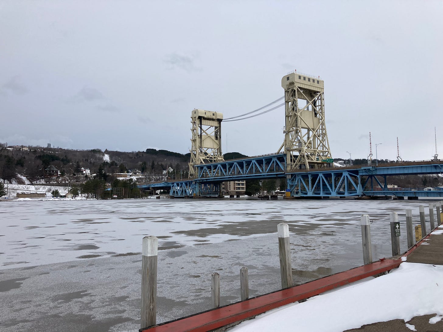
Above: Portage Canal Dec 6th, first sign of ice on the canal
We have been seeing some colder weather arriving which means that Lake Superior is starting to freeze a bit more and with the low winds that last few days we have been seeing more ice forming. On the Portage Canal much of the canal has a thin layer of ice now, around 1 inch to 2 inches in some spots.
Snowmobile trails are really thin still but you can ride them, I have seen a handful of snowmobilers on the trails everyday as I am driving around through the Keweenaw. On the ground snow amounts from Central to Calumet is anywhere from 5 inches up to 15 inches. Snowfall in the Western UP around Bergland, south of White Pine, Ironwood, and Wakefield areas snow amounts on ground are 5-12 inches. Ironwood and Bergland are the only stations with 60-70 inches so far, Tamarack loc (Calumet) is 0.4” away from 60 inches for the season, and Keweenaw county near Central is around 48 inches currently.
Above: Swedetown loc, lake effect snow clouds move out over the Keweenaw, Dec 8th
If you are into cross country skiing the trails in the western UP near Ironwood are in pretty good condition and most have started to lay classic tracks now not just rolling. Keweenaw trails are still rolling, haven’t seen any updates that any are laying classic tracks yet as snow is still a bit thin even with another 4-6 inches that fell the last couple days. That warm up a couple weeks ago did help with giving the base a nice hard crust as things froze up so that should help setup nicely as we move further into December with hopefully a couple nice snow dumps.
I’ll continue to watch the forecasts and see if we can give you some good news if you are looking for snow, we do need more if you are into winter recreation or depend on snow for your business.
UP Tours Make Great Christmas Gift for Someone in your life UpperPeninsulaTours.com - Off the beaten path UP Guided Tours
We went to places we would NEVER have found by ourselves! Beautiful waterfalls, terrific vistas. -Louise J
We went on our adventure around the Marquette, Michigan area. We had a fun filled day seeing many sights that we would have never found on our own!
- Northerngirlnomore
More TripAdvisor Reviews for UP Tours
Being a subscriber helps Yooper Steve continue providing UP Snow Totals, UP Fall Color Reports, and other content through FunintheUP
T = trace, NR = No report, NA = Not Applicable
If daily slot is blank the station hasn't updated or recorded no snowfall.
Sometimes a station won't update that day and does the next day or even days later.
Tahquamenon Falls State Park only updates at the end of each month.
Keweenaw county and Houghton County Airport only update during the weekdays.
Sanderson Field Airport (Soo) updates next day.
Most Snowfall Dec 6th: Tamarack loc (Calumet) with 0.5 inches
Most Snowfall Dec 7th: Tamarack loc (Calumet) with 6.3 inches
Most Snowfall, season to date: Ironwood #2 with 69.9 inches
Biggest 24hr snowfall this season: Ironwood #2 with 22 inches (11.18.22)


