


U.P. Snow totals Feb 20th
Ice on Lake Superior grows to 45%

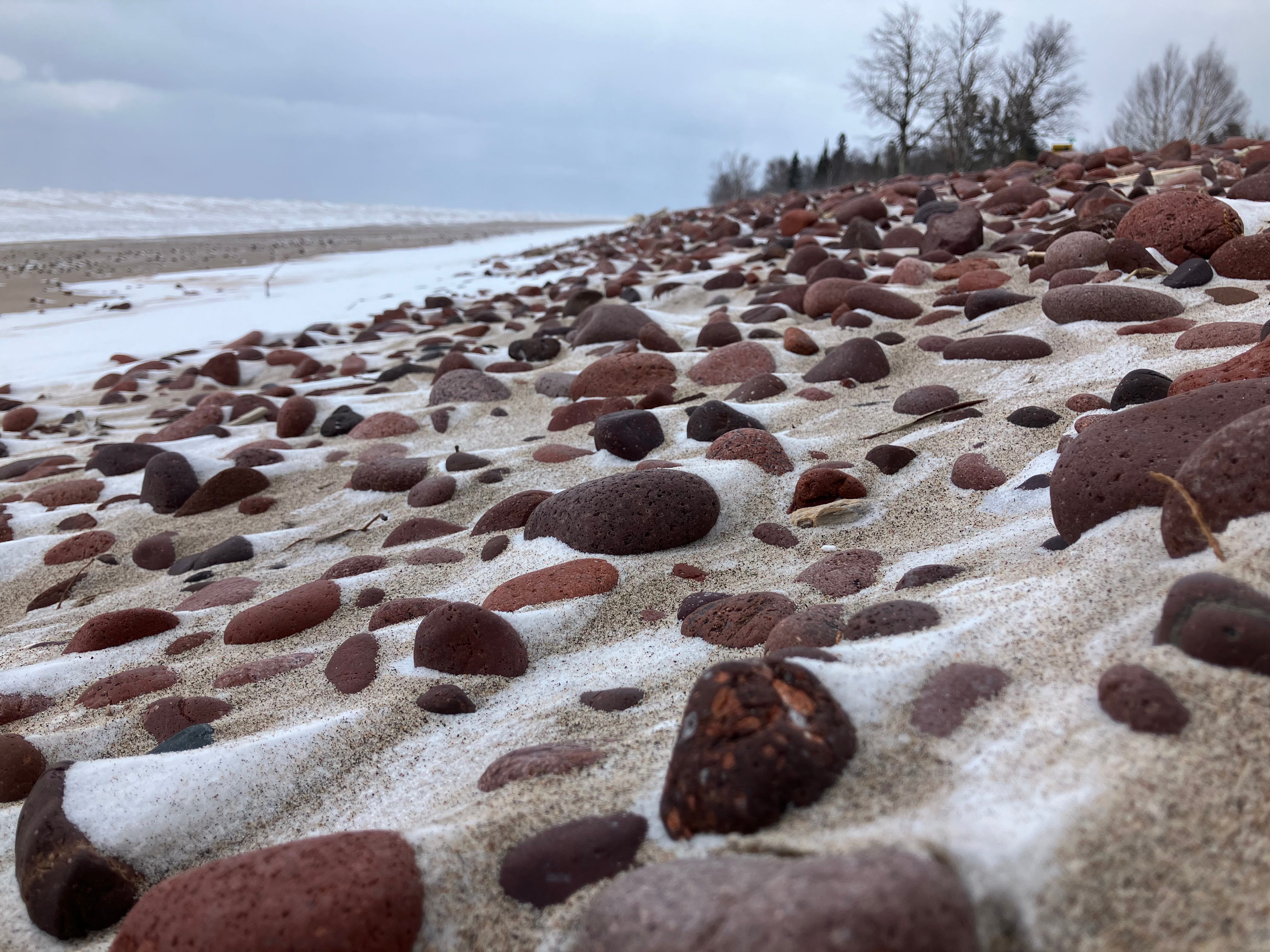
Above: Eagle River, 2.20.25
Thanks for checking out the Yooper Report, welcome.
UpperPeninsulaTours.com - Guided Adventures across the U.P. of MI
Hidden waterfalls, rock picking, big scenic views, history. Private adventures.
Just a few places in Marquette county and the eastern UP with snowfall and a trace of snowfall in some other places in the UP. Over the course of the next 5 days weather should be pretty mild and then cooling back down to below average for the closeout of February.
With the cold that we have had the last week we have seen ice coverage on the Great Lakes increase almost double from where it was last week. I haven’t looked at the ice coverage for a few days and I was surprised to see it sitting at 45% today on Lake Superior. This may be the highest percentage of ice we may see this winter, but then again this warmup should only last about 5 days before it cools back down again allowing that ice to grow.

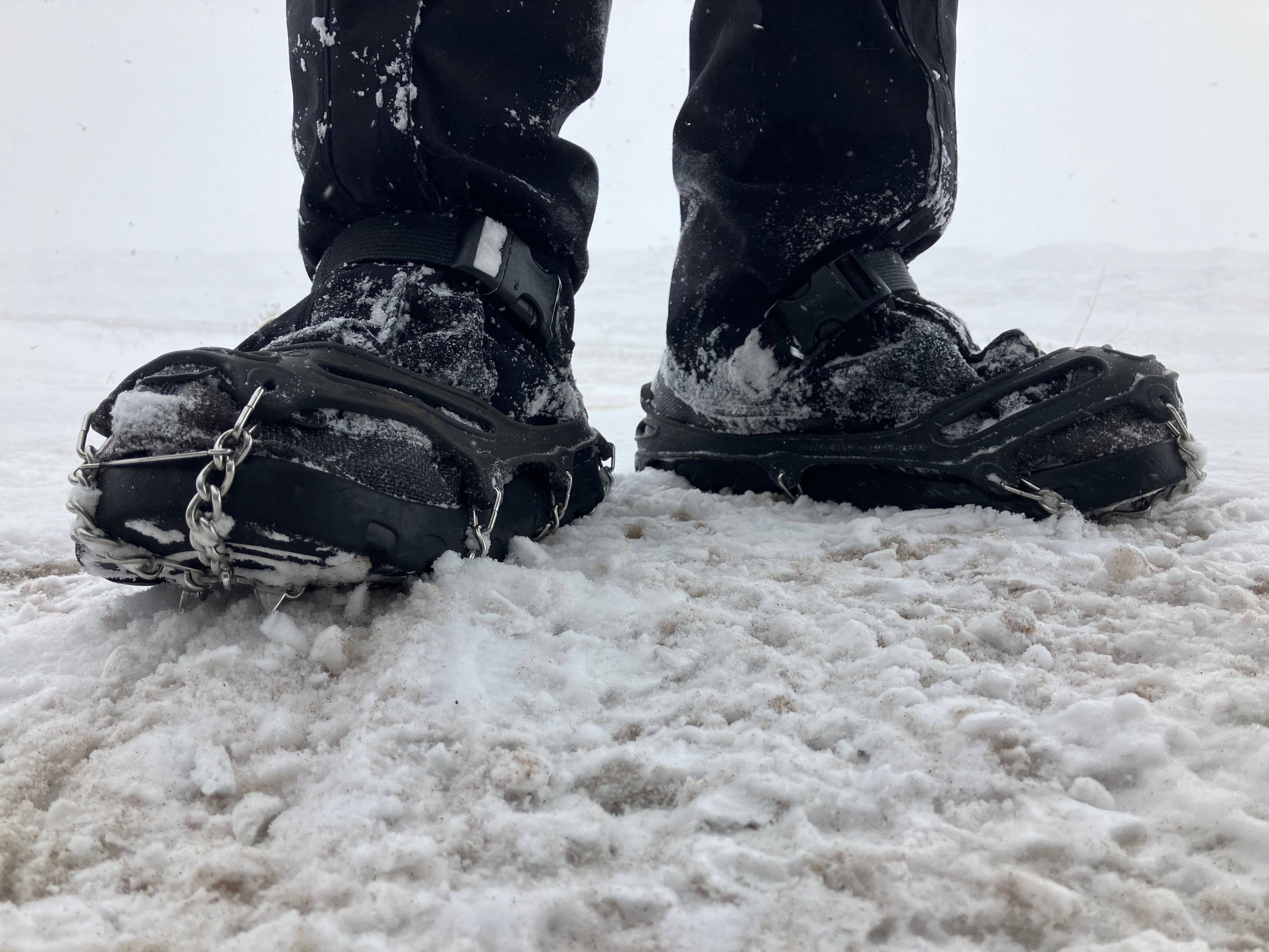
Above: Kahtoola Microspikes (link to buy) I use when exploring slippery areas
I’ve had my Microspikes for 10 years
The average surface water temperature for Lake Superior today is 33.7°. Take a look at the chart below and see how warm Lake Superior is compared to the daily average from 1995-2024. The last few years we have seen some warm summers and little rain which has allowed the lake to stay a bit warmer along with the lack of snowfall over the last couple years contributing to lower lake levels. Look for lake levels and water temperatures to move closer to average over the course of the next few years.

Looking over the 3 month precipitation and temperature outlook issued by NOAA yesterday we can see that temperatures should remain about normal for our region, while precipitation is leaning slightly above normal.

Moving ahead into the month of March I think we will have a few good snowstorms which may bring a few locations to 300 inches of snow before the end of the month. I wouldn’t be surprised as well if we see 15-30 inches in April in the NW snowbelts and in some areas of the central UP, like in western Marquette county areas.
I am looking forward to a little more sunshine and not having to shovel my 6 snowfall stations for the next 5-7 days and just measure the snow if it should happen.
If you aren’t already a premium subscriber to the Yooper Report, please consider doing so as it helps to put gas in the tank so I can continue to provide this resource each winter (since 2011/12) and fall for the upcoming 12th Annual Weekly U.P. Fall Color Report. Thanks for your support. —Yooper Steve
FunintheUP Facebook - instagram.com/yoopersteve
instagram.com/funintheup - FunintheUP TikTok
youtube.com/@funintheup - youtube.com/tourdayoop
U.P. Snow Totals for Feb 20th below.
Keep reading with a 7-day free trial
Subscribe to The Yooper Report to keep reading this post and get 7 days of free access to the full post archives.