


U.P. Snow Totals Feb 9/10
15-26 inches of snow blanketed the Keweenaw

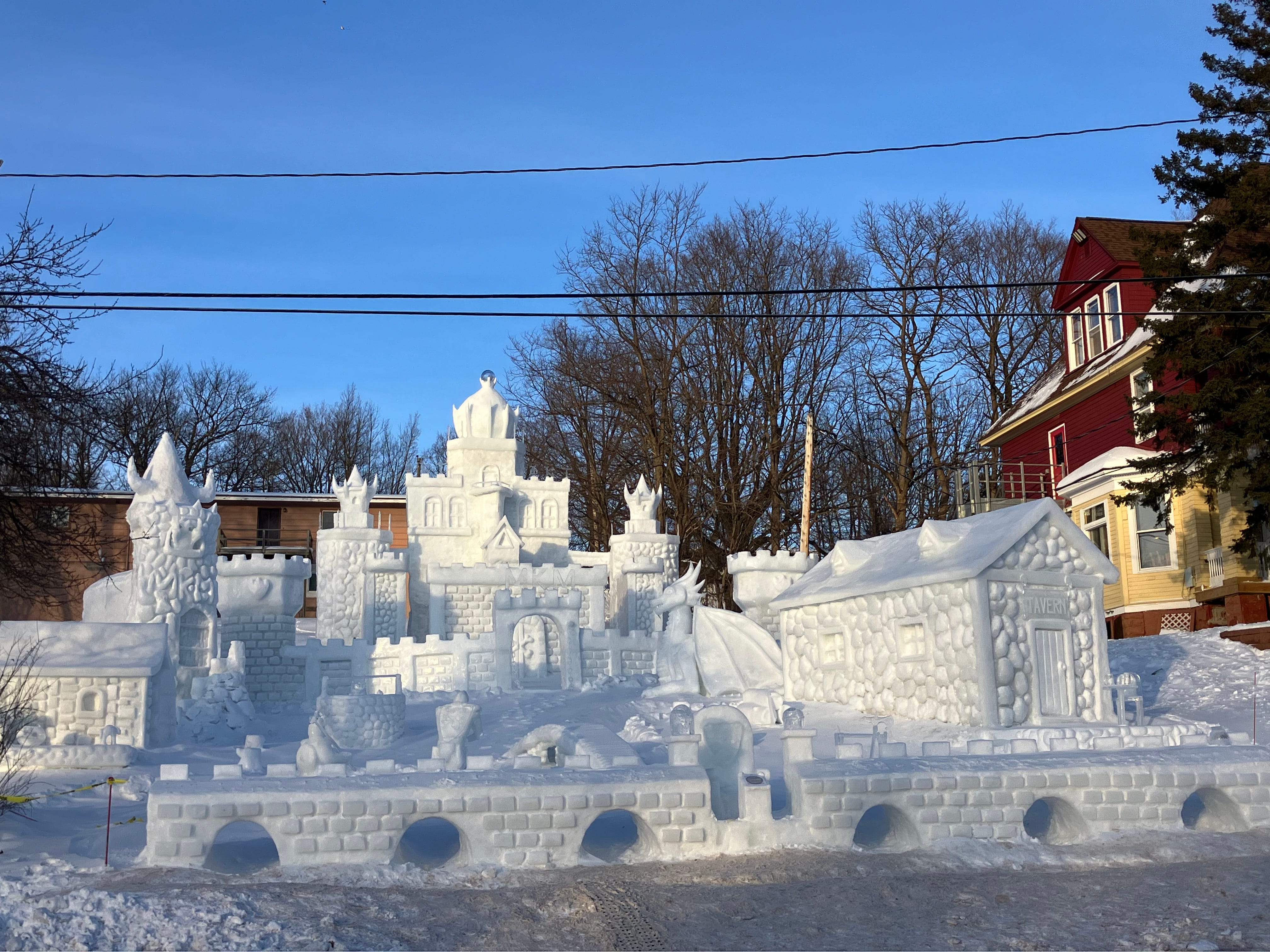
Above: Winning snow month long statue at MTU Winter Carnival 2025

The Bayfield Bomber didn’t disappoint, I did dump a bit more snowfall than I had forecasted.
The Keweenaw finally saw a good snowstorm, not the biggest ever but the biggest this season for the Keweenaw. Isolated lake effect snow bands lingered around the Keweenaw in a stretch from Calumet to Delaware. Lake effect snow was enhanced by some convergent winds over the land along with the strong western winds over Lake Superior that kept snowfall in that region overnight dropping the biggest 24hr snow total of any location this season.
FunintheUP Amazon Store - U.P. Books, Yooper rock hunting stuff, Camping gear, Winter clothing and accessories
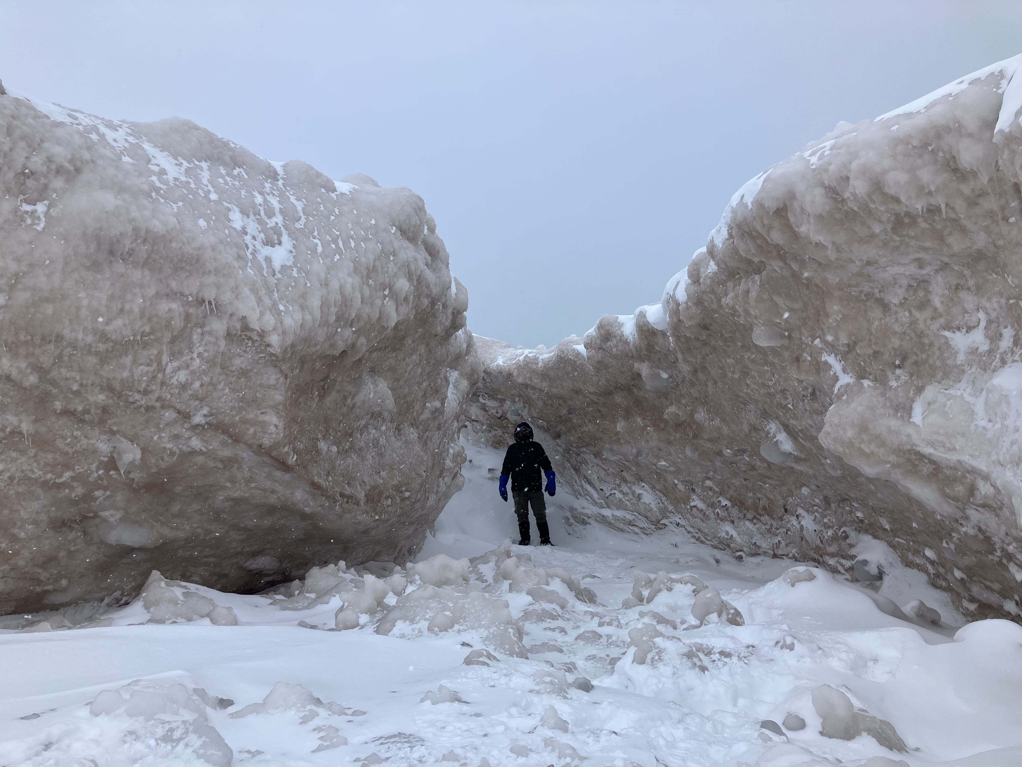
Above: ice tunnel and ice volcano on Lake Superior 2.10.25
It was about mid afternoon on Monday when the convergent winds let up a bit and winds shifted slightly into a western to WNW pattern bringing a wider swath of snow banding further south from Twin Lakes to Painesdale, even areas along the Portage Canal got in a bit more snowfall as well.
Besides the Keweenaw the only other areas to see any significant snowfall was the Soo and Munising area, other areas got left out.
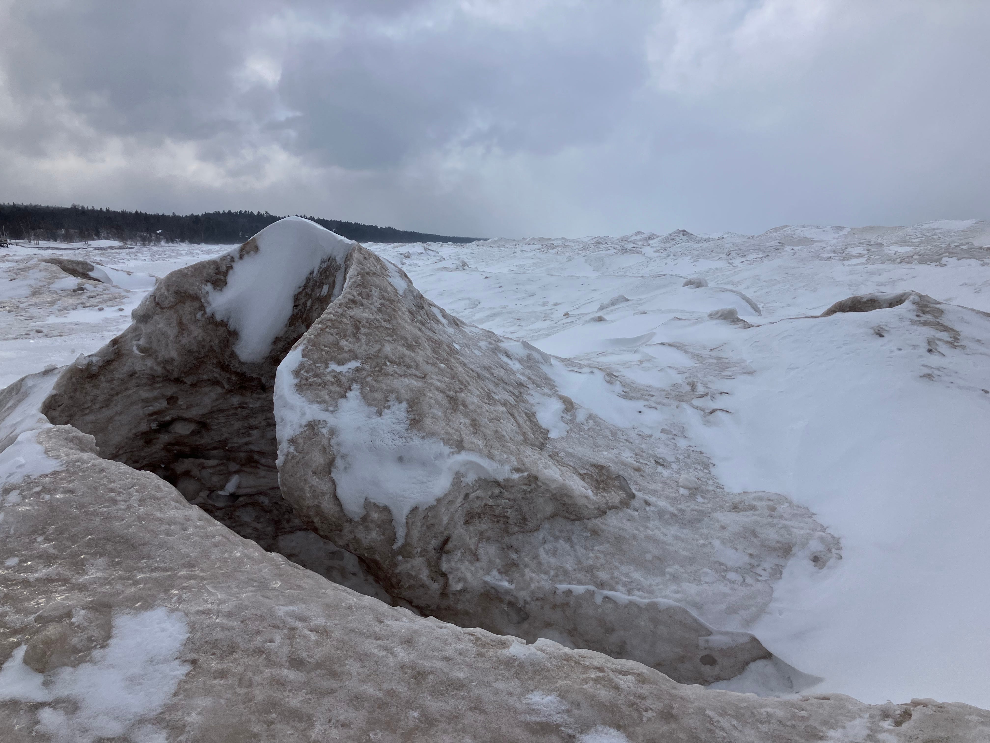
Above: small ice volcano on Lake Superior 2.10.25
Guided U.P. Adventure Tours - UpperPeninsulatours.com with Yooper Steve
Late Wednesday night we should see a little warmer air move up into the region which could lead to some lake effect snow by Thursday behind it. Temps should get into the low teens to mid teens along Lake Superior.
Snowfall should be pretty minimal with 2-4 inches in the NW snowbelts and a trace to 2 inches across non NW snowbelts.
Snow Totals for Feb 9th and 10th below.
Keep reading with a 7-day free trial
Subscribe to The Yooper Report to keep reading this post and get 7 days of free access to the full post archives.