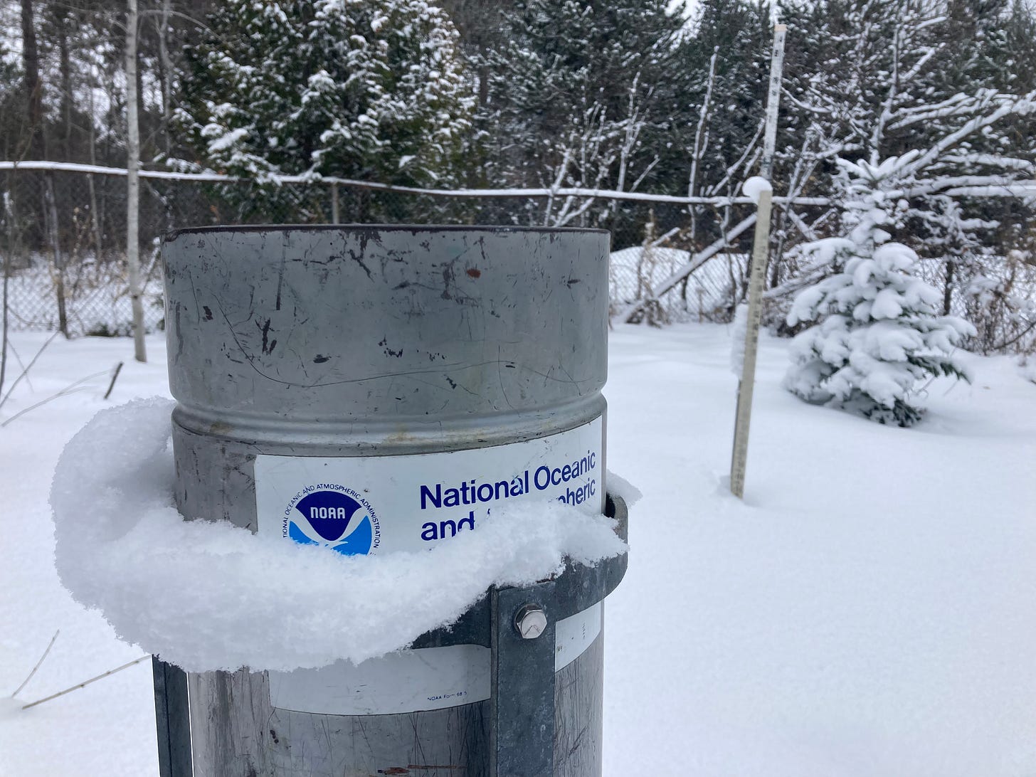
Above: Calumet-Tamarack weather station Dec 4th
Welcome to another snowfall report for Dec 3rd snowfall. This week has looked more like winter than it did last week with many places seeing bare ground for a little bit as the temps warmed up. Don’t expect to many more warm ups before March, but that is winter in the Upper Peninsula so most expect that.
Forecast for this week isn’t looking to snowy but a few lake effect showers might linger in the Keweenaw and eastern UP near Whitefish point, but nothing to significant as of now. Temps should remain more normal, slightly below normal.
Snowmobile trail clubs are trying to get the trails ready but with lack of snow its a bit more difficult until things freeze up and more snow arrives. Much of their work has been clearing downed trees and brush clearing.
Thanks for subscribing and following the UP snowfall totals since 2011.
T = trace, NR = No report, NA = Not Applicable
If daily slot is blank the station hasn't updated or recorded no snowfall.
Sometimes a station won't update that day and does the next day or even days later.
Tahquamenon Falls State Park only updates at the end of each month.
Keweenaw county and Houghton County Airport only update during the weekdays.
Sanderson Field Airport (Soo) updates next day.
Above: Lake Superior bewtween L’Anse and Baraga
Most Snowfall Dec 3rd: Calumet-Tamarack loc with 4.3 inches
Most Snowfall, season to date: Ironwood #2 with 67.1 inches
Biggest 24hr snowfall this season: Ironwood #2 with 22 inches (11.18.22)


