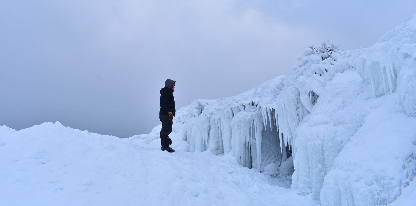
Above: picture from 2019 on Lake Superior near Eagle Harbor
After the second half of December with no snow, we welcome what little snow we have gotten these last few days.
Right now we have two snow stations that have joined the 100 Inch Club with a handful of others that should join soon, perhaps this coming week.
Snowiest places these last few days were around Painesdale to Twin Lakes, north of Bergland into the interior portions of the Porkies and east of Munising and NE Newberry and McMillan, and localized near the Soo. Other places in the UP saw no snow and up to an inch or two.
Most of the Upper Peninsula cleared up late morning into the afternoon and the areas near Munising to the Soo were still experiencing some lighter lake effect banding into early evening hours, but that should be heading out now.
Guided U.P. Adventure Tours with Yooper Steve
Rock and copper picking, old mine sites, hidden waterfalls, hidden vistas, & backwoods explorations across the Upper Peninsula - upperpeninsulatours.com
Lake effect snow is hard to predict and where we are located in the US makes it harder. We have so many things that can affect how it snows in the Upper Peninsula and where it snows. Snow totals can be affected by air temps at different levels, varying Lake Superior temps, ice coverage, abrupt elevation changes, valleys, cliffs, bays, Arctic air, southern moisture, wind and speed across the water and across land, directions of winds and a lot more.
The Upper Peninsula is a unique place, unique in many ways and not just weather and that’s what we love about it. Weather, especially winter weather we really embrace, we love to talk about our snowfall, being it has some of the snowiest locations east of the Rocky Mountains.
Little snow is expected in the next few days as temps stay a bit colder through Wednesday and getting back into the low 20s by Thursday across much of the U.P. into the weekend.
Check out the FunintheUP Amazon store
U.P. Books, Yooper rock flashlights, clothing, footwear, camping and hiking
Short term it doesn’t appear we will see a lot of snowfall into the 3rd week of January. There is a possibility for some activity around the 10-15th but models have been really jumping around a lot, it’s just to far out yet, that’s winter weather for you. One thing is for sure temperatures should stay below freezing most of January as we head into our coldest part of the year.
We should start seeing ice on Lake Superior start increasing this week and into next week. Ice coverage on Lake Superior as of today was 1.36% and hasn’t been above 2% yet this season.
Tomorrow I will post the Jan 1- Jan 4th, 4 days snow totals along with Jan 4th update snowfall, that will put into perspective what actually fell to what was forecasted by various sources including my forecast graphics.
There are now a total of 87 locations for snowfall totals. I have now added 9 more to the list which you will find at the bottom. The new stations I have listed are Ahmeek, Twin Lakes, Ironwood 7, N. Ironwood, Skandia, north of McMillian, Marquette 2, Menoninee 2, and Watersmeet 5.
Thanks for being a subscriber without paid subscriptions and some a few sponsorships here and there I wouldn’t be able to continue providing snow reports or fall color reports. Your support is very much appreciated as we head further into 2025.
Keep reading with a 7-day free trial
Subscribe to The Yooper Report to keep reading this post and get 7 days of free access to the full post archives.


