After a very slow start to winter, today brought a lot of joy to all winter enthusiasts. The first good snow storm in the UP couldn’t have came to soon. I was writing awhile back we would see a change in weather and a storm sometime in the middle of the month.
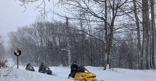
Above: snowmobilers on Trail 17 Calumet 1.13.24
Today we saw anywhere from a couple inches in the southern UP up to 25 inches in parts of the central UP. Snow continues to fall and will continue through the weekend and into the week ahead. This arctic blast, a breakdown in the Polar Vortex is causing a blast of the coldest air some places across the Midwest have seen for many years. The same goes with the UP, we are trending like it was in 2019, storms started about the same time in January, and cold air stayed with us through early Feb.
Could see Lake Superior ice coverage reach what 2019 did? On this day in 2019 ice coverage was 4.64% and the highest ice coverage was 94.91% on March 8th. As of today ice coverage is 1.83%, so it is possible, but it will take a lot of cold weather to bring the water temps down on Lake Superior.
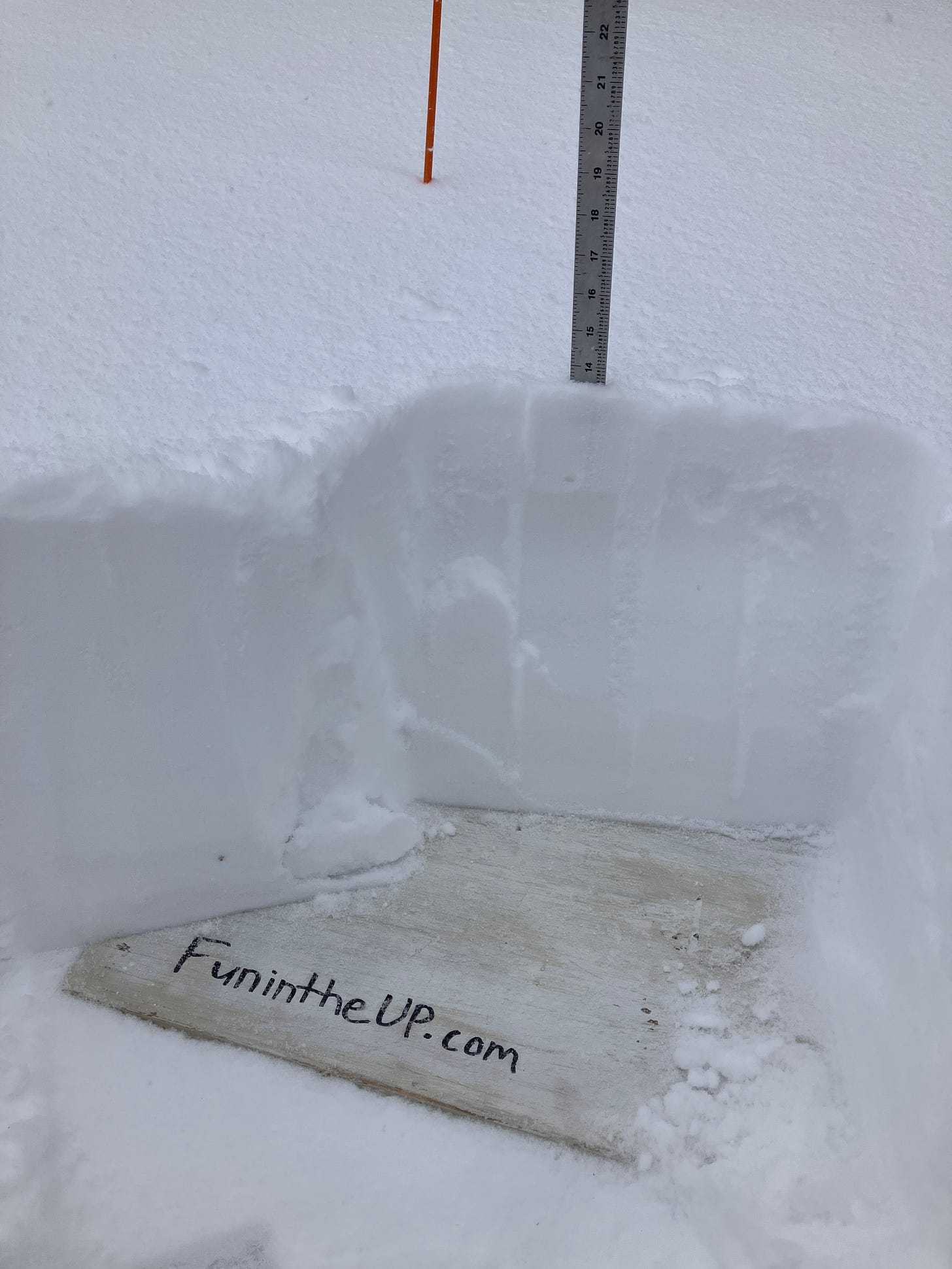
Above: 13.5” of snow at my Calumet lake snow station
Expecting more snow across the western UP, Keweenaw, higher elevations in central UP, and areas near Pictured Rocks interior through Sunday afternoon. Areas in the NW snow belts will see higher snow amounts through Monday evening. Snowfall will all but be cut off in areas of the southern UP and far eastern UP for much of the week, but may see a few light flurries.
Sunday and Monday look to be the coldest days, with winds still howling around 25mph and gusts up to 30mph. Snowfall will continue to be lake effect that is very light and fluffy. Around Tuesday into Wednesday it appears we may have a trough or clipper moving in that could bring some more snow behind a W WSW winds to NW winds bringing that light lake effect snow back. How this will track across the UP is still being watched. Overall we shouldn’t see anything to crazy right now moving across the UP that will bring us the snow totals we just saw. Overall it appears we will stay in our typical winter temps range and snow systems will remain pretty mild for the remainder of the month. Next possibility of something bigger that gets people talking appears to be around the last few days of the month.
So we can just expect some colder weather and some light snow for much of the next week and a half at least.
Remember on Mondays at 5pm you can watch my LIVE at 5 TOP 10 Snowiest Places in the UP video on Facebook.
Let’s take a look at today’s snowfall measurements for Jan 12th below.
Above: on ground snow at my Calumet Tamarack snow station 1.13.24
T = trace, NR = No report, NA = Not Applicable
If daily slot is 0" the station hasn't updated or recorded no snowfall.
Sometimes a station won't update that day and does the next day or even days later.
Tahquamenon Falls State Park only updates at the end of each month.
Keweenaw county only updates during the weekdays.
Sanderson Field Airport (Soo) updates next day.
Most Snowfall Jan 12th: Clarksburg with 26 inches
Most Snowfall, season to date: Herman with 60.8 inches
Biggest 24hr snowfall this season: Clarksburg with 26 inches (1.12.24)


