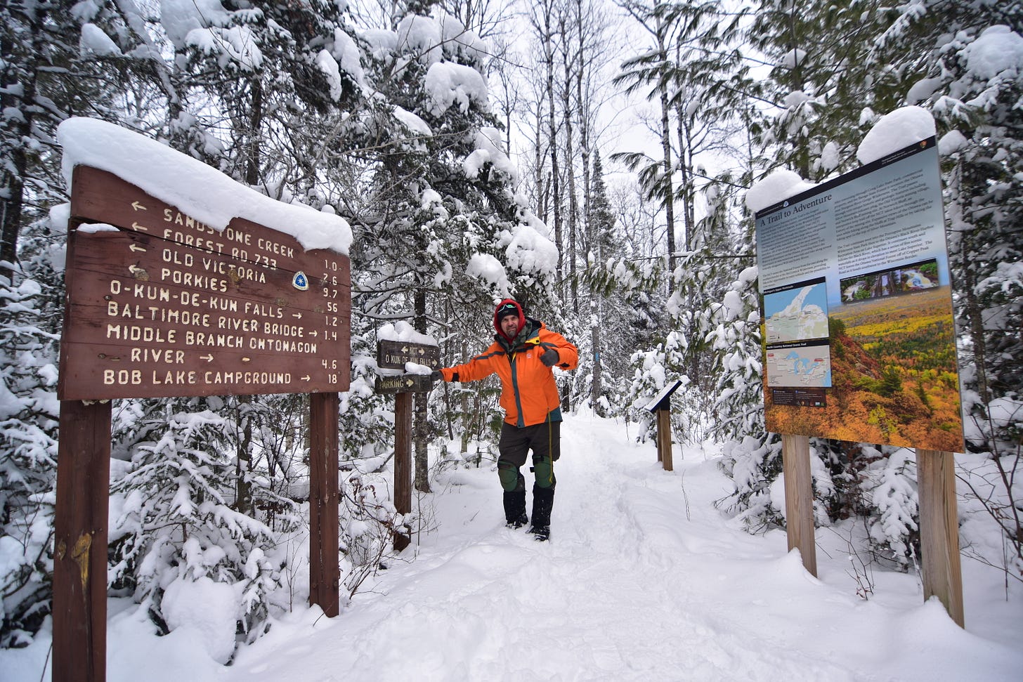
Above: me hiking to O kun de kun falls Jan 14th, starting my Hike 100 on the NCT
Starting soon are posts of my hiking, kayaking, camping, and other adventures. I will be doing regular posts starting with the one I had yesterday to O kun de kun falls. You’ll be able to learn about fun spots around the UP to have an adventure for yourself. It will have maps, directions, pics, videos, and pertinent info for you to partake in the adventure along with many others. Many places I go are waterfalls (I’ve been to over 750), cool lookouts, sweet cliff view, old mine sites, and more off the beaten path places. I do go to places that are more popular as well but not as often especially when there’s lots of people.
The Keweenaw is seeing snow it’s known for.
Now that the system has moved eastward over Canada and winds have shifted most areas of the UP will be cut off from much snow over the next 3-4 days. Herman/Huron Mtns, Twin Lakes to Houghton and up into the Keweenaw. We are seeing a direct west wind coming over Lake Superior pounding the lake effect snow from the Houghton/Ontonagon line up into the Keweenaw.
A couple days ago I posted on Facebook that we would see another 10-14 inches by Tuesday, and I think today a few stations hit that today and some have seen about half of that with measurements this morning.
With any dominant winds from the N, NW, and W coming over Lake Superior with waters as warm as they are right now, it is just prime time for some sweet lake effect snow. With a current west wind, places further south of Agate Beach and Misery Bay get cut off the lake effect and interior portions of the UP get a few flurries if there’s enough moisture left in the clouds to produce snow after most of the snow drops.
Remember on Mondays at 5pm you can watch my LIVE at 5 TOP 10 Snowiest Places in the UP video on Facebook.
Temperatures will remain in the low single digits to highest low teens approaching close to the weekend. Winds will remain moderate which should help keep the snow coming across the Keweenaw into Thursday. Other than the Keweenaw the weather doesn’t look to exciting for much of this week. I’m watching a few different possibilities for a brewing storm heading into the last week of the month, but for the most part things shouldn’t be to crazy, this was our big storm for the month.
Now that the Keweenaw and western UP are starting to see the lake effect dumps, they should start to outpace the eastern UP for the remaining winter and we should see some new stations jostle for the #1 snowiest places in the UP this year. Yesterday Herman took the lead in the #1 position with the snowfall it saw on the 12th and it piled on a good amount of snow with the measurement this morning. Do you remember last year Herman had an impressive 52 inches of snow the last couple days of April and first two days of May to take the lead from Calumet Tamarack location for the #1 Snowiest stations for 2022/23 winter season. It ended with 307.5 inches of snow. Watch video I did in Herman after 3 days of 48"
UpperPeninsulaTours.com with Yooper Steve, adventures away from crowds to hidden gems across the UP since 2014. Trip Advisor rated "We saw places we never would have seen on our own. We would highly recommend this tour"! --- Kurt Austin Family
Snow totals for Jan 13th below.
I took a hike to O kun de kun falls in 7 degree weather, and by the time I got back to the vehicle it dropped to 2 degrees. It was pretty magical with the snow hanging onto the trees and water still flowing over Konteka falls and Okun de kun. I’ll try to make a post this week about the hike.
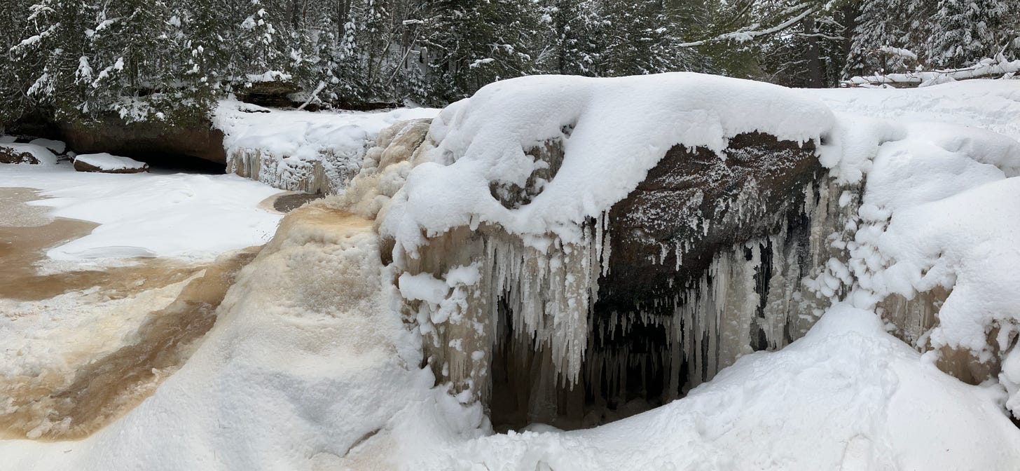
Above: Konteka falls, the falls before O kun de kun just upstream. 1.14.24
Above: O kun de kun - 1.14.24
So in the snow totals in the columns with red lettering are the following.
First column is a +/- percentage of this years snowfall compared to last years snow totals as of the same day.
Second column is the 2 day snowfall amounts Jan 12th and 13th snow, for some it was a snowstorm for others it was a dusting of snow. The Keweenaw is still experiencing a snowstorm, 4 days of winds and lake effect.
Today Jan 15th across the Keweenaw we should see another 6-8 inches easily with 12-14 inches on the higher end (40% probability), but should be right around 8 inches for most upper elevations by Tuesday afternoon. This will be a nice 4 or 5 day snow total for some places in the Keweenaw.


