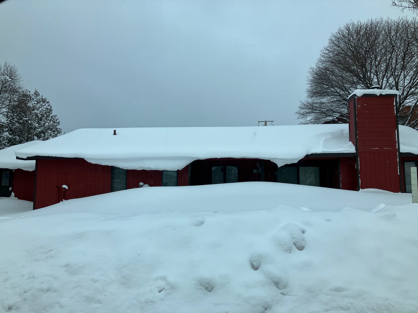
Above: a house in Calumet getting buried in drifts. 1.18.24
Another couple days of snow, not only in the Keweenaw but across the NW snow belts, a welcome sign to those snowmobile clubs and xc skiers out in the western and eastern areas of the Upper Peninsula.
How’s does 50 inches of snow in the last week sound to you? Well that’s what the Keweenaw county snow station (49”) and my Calumet Tamarack snow station (50.1”) had, well 6 days snow total that is.
Above: timelapse during whiteout snow 1.17.24 Trimountain to Atlantic mine
The great thing about the snow is that it was light and fluffy easy to shovel. I would not have liked to be shoveling 50 inches of snow at my 6 snow stations. It is good exercise that’s for sure and it keeps you warm on cold days like we had, most days this week were either below zero or no more than 8 degrees. I am certainly not going to complain with temperatures rising a little, but I hope they don’t stay above 32 degrees very long this coming week.
Looking into next week we will see those 30s early next week into mid week, but then the cool temps will be returning but not as cold as this last spell. The next system looks to be moving into the Great Lakes region on the 23rd and 24th. We may just see some rain in the UP especially across the southern and eastern portions. Unless winds change there won’t be any lake effect snow arriving in the northern UP counties, but may see a few snow flurries after things cool down in the evenings in the southern UP with the southern winds coming off Lake Michigan.
Let’s look at the snowfall outlook for the next 24hrs across the UP. The Kuchera outlook looks pretty similar to what my forecast numbers are for the next 24hrs.
2-4" - Copper Country area
4-8" - Ironwood/Bergland
0.5-1" - Watersmeet/Bruce Crossing
0-1" - Escanaba/Iron Mtn
4-10" - Marquette and beyond
4-8" - Munising and beyond
0.1-1" - Newberry and beyond
Trace - 0.5" - Soo and beyond
Trace - 1" - Manistique and beyond
Jan 17th Snow totals for 75 snow stations below.
T = trace, NR = No report, NA = Not Applicable
If daily slot is 0" the station hasn't updated or recorded no snowfall.
Sometimes a station won't update that day and does the next day or even days later.
Tahquamenon Falls State Park only updates at the end of each month.
Keweenaw county only updates during the weekdays.
Sanderson Field Airport (Soo) updates next day.
Most Snowfall Jan 17th: Greenland and Painesdale with 6.5 inches
Most Snowfall, season to date: Calumet (Tamarack location) with 87.6 inches
Biggest 24hr snowfall this season: Clarksburg with 26 inches (1.12.24)


