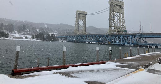
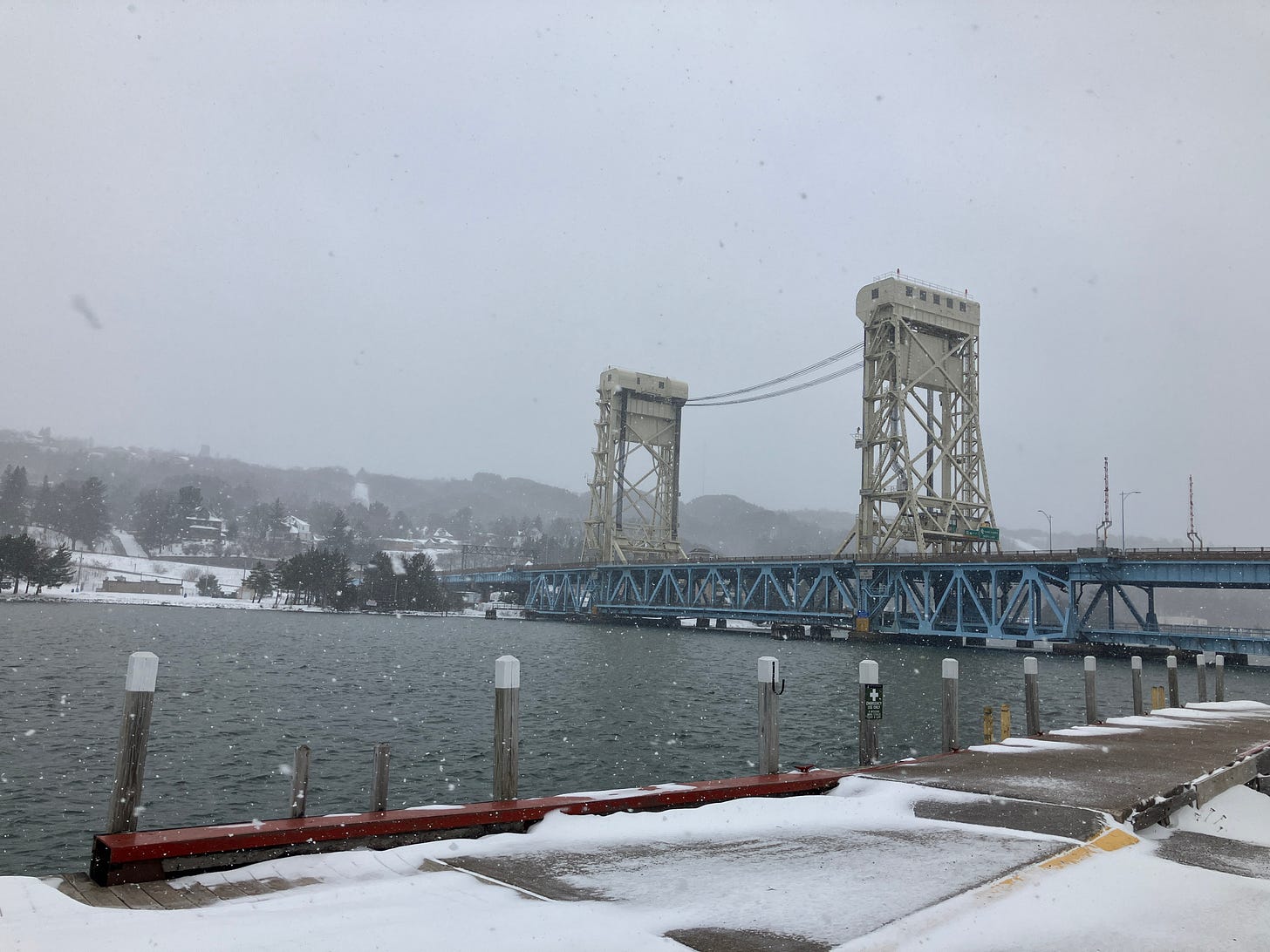
Above: Portage Lake Lift Bridge 3.17.24
After a couple of weeks with warm weather and sunshine winter has returned to the Upper Peninsula. Snow has been a little more than I was thinking we would be seeing and I think with the temps dropping a bit more than expected it has helped give us the lake effect we are seeing. The winds arrived as expected with drifts starting to be seeing late afternoon.
It looks like there will be a few flurries through the week here and there as the temperatures remain a bit cooler than we saw last week. For now it is back to winter.
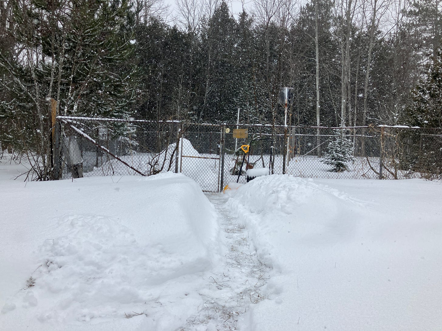
Above: Calumet Tamarack loc weather station 3.17.24
I hope to get out to do some cross country skiing the next few days, I haven’t even gotten the skis out this year or used my snowshoes. Can’t remember the last year I didn’t go in the last 10 years.
I am just ready to get on with spring and mostly over winter already, I was just starting to get used to the warmer temps and seeing the ground without snow across most of the UP. We will still see an early spring most likely as on the ground snow amounts are pretty non-existent across most of the UP except the Keweenaw and Huron mountains where there is still 5-20 inches on the ground in the woods.
UP Snow Totals for March 16th below.
Keep reading with a 7-day free trial
Subscribe to The Yooper Report to keep reading this post and get 7 days of free access to the full post archives.


