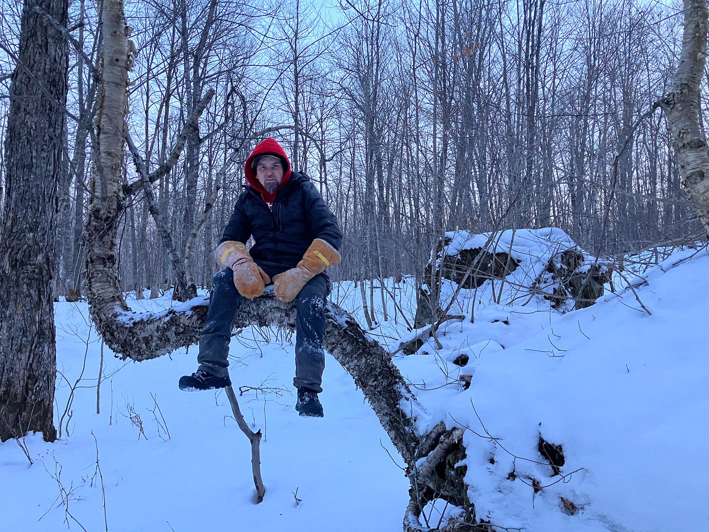
Above: taking a break while out exploring the Keweenaw last Saturday
Just when you thought winter was over it returns. To see snow this late isn’t at all unusual, it isn’t until Mothers Day when we can say we are in the clear. Most years we see 10-20 inches in March and at least a few measureable snow events in April with up to 30-40 inches some years.
Sunday night and Monday we saw some really wet snow which made shoveling pretty tough, even plow drivers were saying how heavy it was. With the warmer temps on Tuesday and the rain overnight Monday it made for some sloppy conditions. Temperatures dropped overnight making for some slippery conditions on the back roads and in neighborhood driveways on Wednesday.
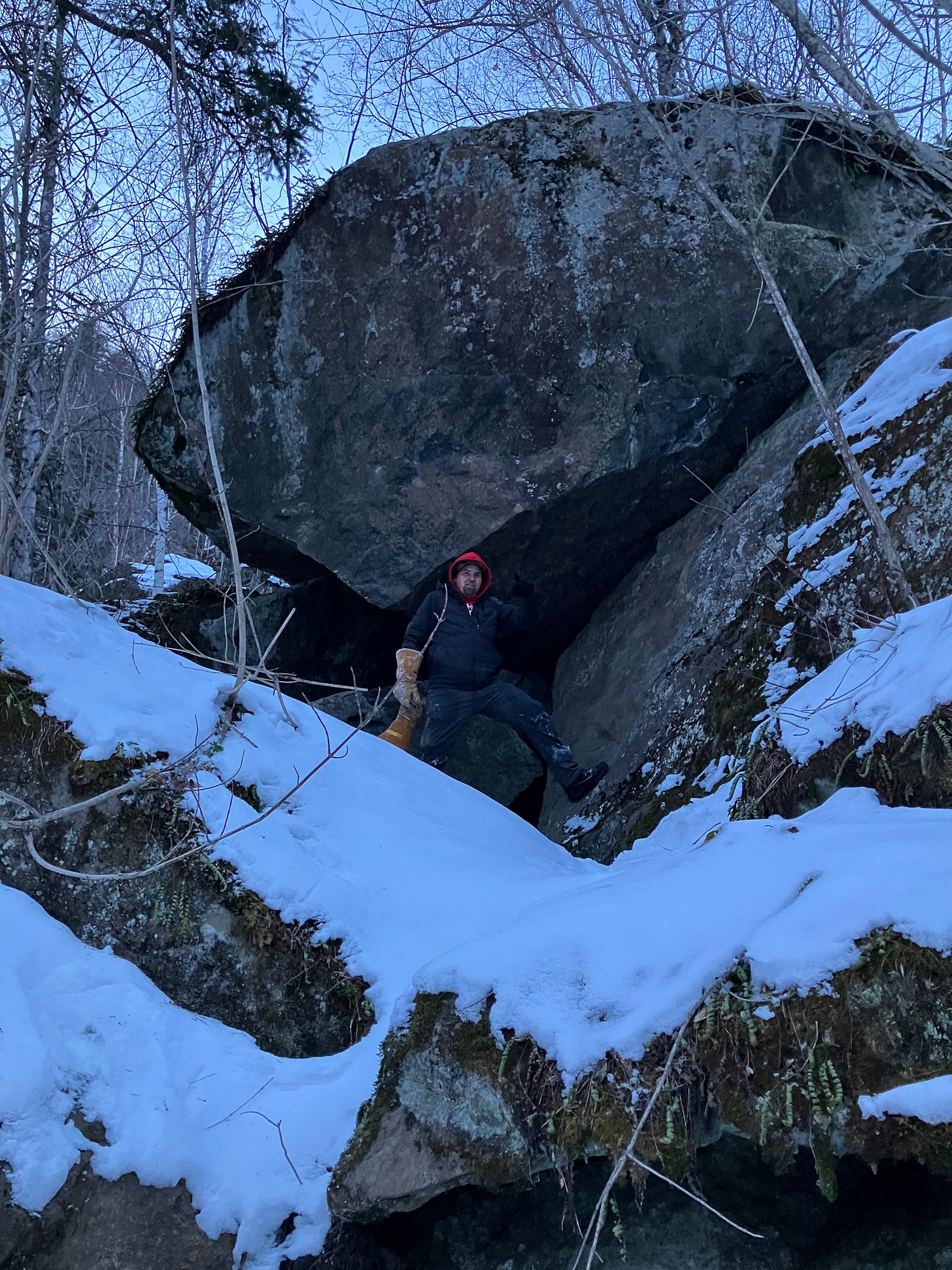
Above: large boulder in the Keweenaw
The storm we are currently seeing in the Keweenaw should give us some decent snow overnight. Today I had measured 4 inches in early afternoon in Tamarack and a friend said there was another 3 inches since I was last there. Check out the LIVE video I did on Facebook around 830pm driving around South Range and Trimountain.
Heading into the weekend we should see the low 30s with a few low 40s possible into early next week. The next week we will probably see a few flurries here and there across the UP as temps dip below freezing on Saturday and Monday.
Showing some Upper Peninsula Tours clients a hidden waterfall in the Keweenaw
Join a UP Adventure Tour in 2024 - a memorable adventure for all ages
UP Snow Totals below.
Updated for March 24, 25, and 26th. Tomorrows snow totals will be updated tomorrow night.
Keep reading with a 7-day free trial
Subscribe to The Yooper Report to keep reading this post and get 7 days of free access to the full post archives.


