


U.P. Snow totals Mar 24th
Sunshine next few days then snow, rain, freezing rain

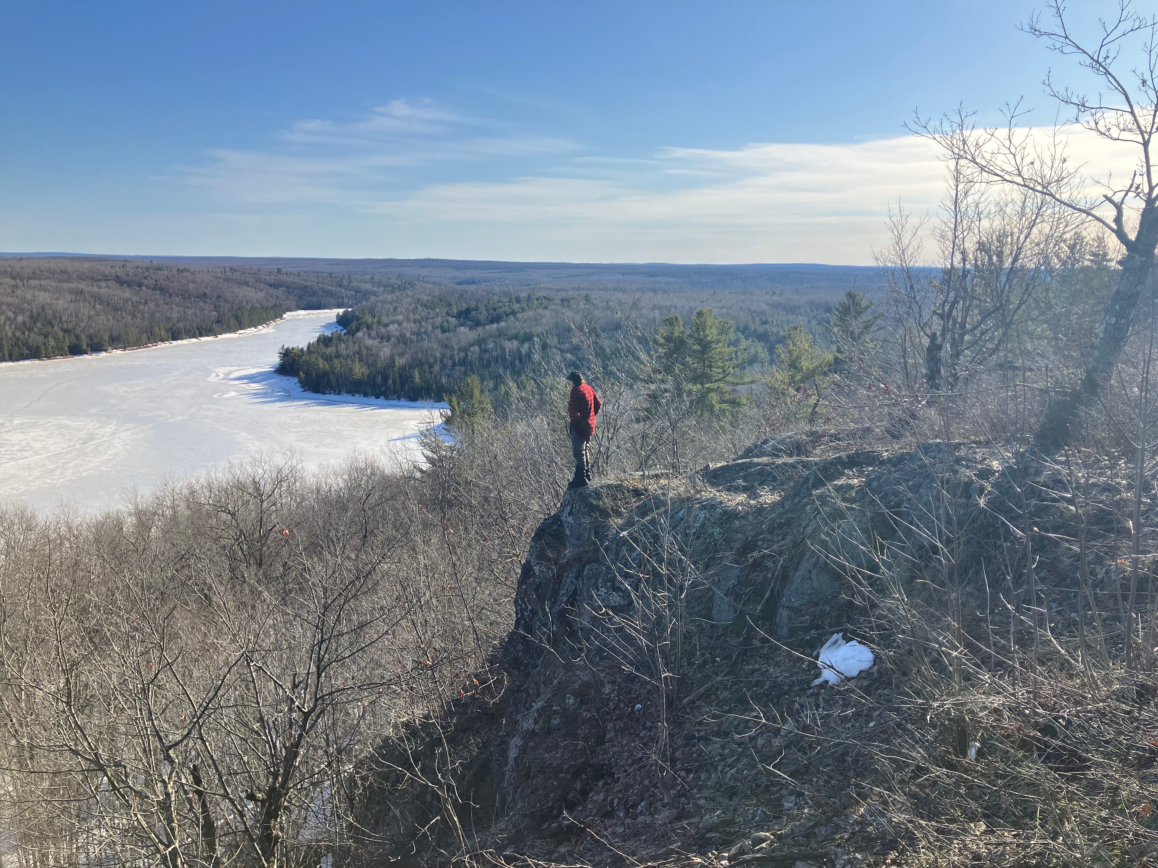
Well Tuesday was a fair day, mostly sunny and around 30 degrees in the Copper Country, a drastic change from Sunday and Monday. Main roads were bare and backroads were mostly snow covered and slushy with the sunshine softening things up a bit. The snow we saw the last two days was wet and heavy, snow that will melt quickly with a little warm weather the next few days.
Wednesday and Thursday should be nice days to get out and enjoy the outdoors and get some vitamin d and breathe some fresh air as spring is in the air. Take a little stress off before we get the next snowstorm which could be a little more messy and treacherous than what we saw on Sunday and Monday. This one is going to be a mix of rain, sleet, freezing rain, wet snow, light snow, the entire UP should see some of the above.
There isn’t much confidence in this system providing any significant snowfall amounts but there will be a good mix of weather that will provide difficult driving conditions and a lot of wet sloppy stuff for a couple days. Most of the snow should remain at the northern regions of the Upper Peninsula and mixed precipitation to the south and eastern UP. Snow possibilities across the northern parts of the UP are 3-5 inches and ice accumulation may be 0.1” to 0.25”. Winds will affect the amount of ice build up, higher winds more ice as the water gets spread out by the wind and freezes faster.
We shall see what develops over the next day or two, but as of now snowfall doesn’t look to be much more than 3-5 inches and if there is snow it should stay north at least the higher amounts.
Keep reading with a 7-day free trial
Subscribe to The Yooper Report to keep reading this post and get 7 days of free access to the full post archives.