


U.P. Snow totals Mar 30th
Snowstorm and icestorm hit the central and eastern U.P.


Calumet/Tamarack joined the 300 Inch Club yesterday along with Painesdale, and we still have 2 other stations that may hit the 300 inch mark before the season ends. View the 300 inch snowfall update I did at Calumet/Tamarack (on facebook).
Well another storm hit, this one was a doozy. Another 10-14 inches of wet snow along with freezing rain and ice accumulations made for some treacherous conditions which caused power outages to more than 100,000 people across the Eastern UP and northern lower peninsula. The Mackinac bridge closed due to falling ice.
Yesterday the Munising weather station passed the old season snowfall record of 238.0 inches of snow set in 1996/97. The 2 inches of snow that fell on March 29th brought the season total to 238.4 inches, plus the 12.2” of snow today it is now at 250.6 inches and winter isn’t over yet. Average snowfall is 136.6 inches a year for Munising so it is over 100 inches above normal, I would say it’s been a snowy year in the Munising area.
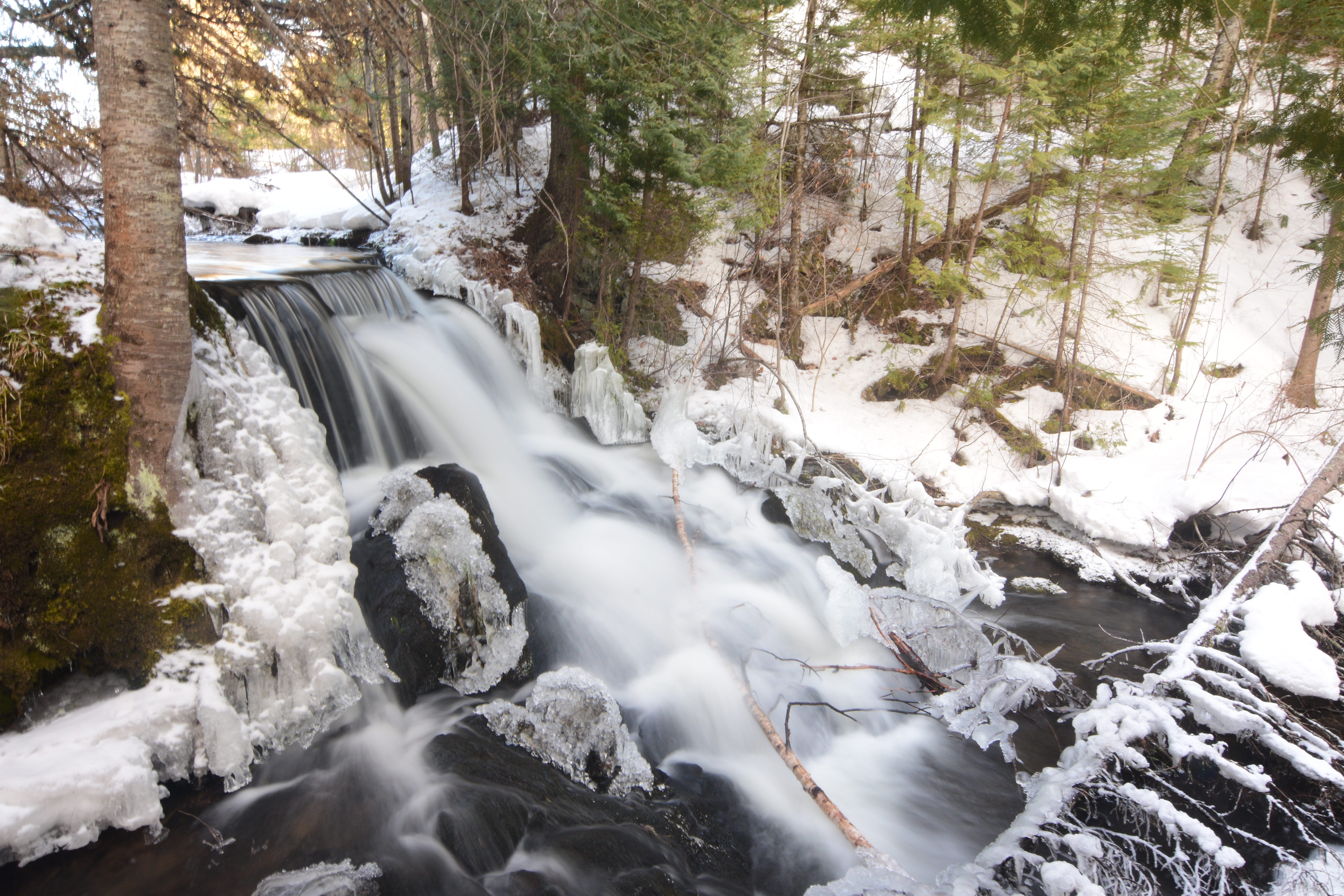
Above: Ogemaw falls with fresh snowfall on Mar 23rd - YooperSteve photo
Forecast ahead
The next couple days weather looks pleasant compared to the last few days but things turn around again for the worse come Wednesday and Thursday. More snow, freezing rain, and sleet. Snowfall totals don’t look to be very big but combined with the ice and freezing rain it could prove to be a bit messy again.
Wind gusts in the Keweenaw on Wednesday could reach 50mph so I wouldn’t be surprised if the NWS issues a wind advisory early Tuesday afternoon or evening.
8-14 day outlook seems to be leaning towards a slight below normal temps and precipitation below normal for the next 3-4 weeks.
I am ready for some more sunshine and green grass but I know that won’t be happening anytime soon here in the Keweenaw so I will have to spend a bit more time further south or east early on this spring if I want that.
Snow totals for March 30th below.
Keep reading with a 7-day free trial
Subscribe to The Yooper Report to keep reading this post and get 7 days of free access to the full post archives.