


U.P. Snow Totals Mar 5th plus 2 day Totals
Snowstorm to sunshine today, warmup coming Sunday and Monday.

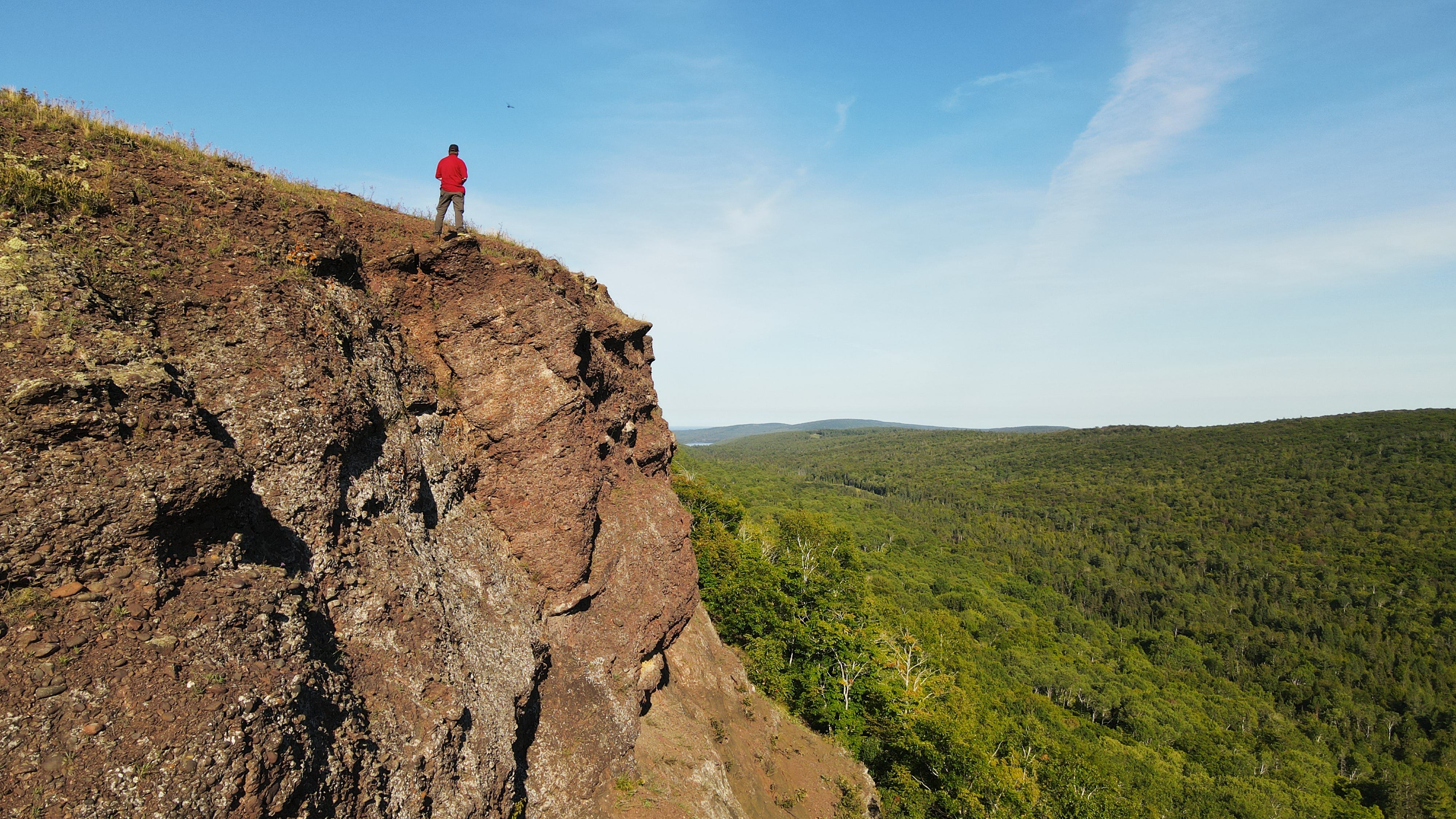
Brockway mountain drive - Copper Harbor - by YooperSteve
This winter storm added to the totals nicely today with some locations seeing 15-20 inches today from the Keweenaw into western Marquette county. Strong winds continued into the late evening hours Wednesday and by early morning Thursday they had slowed down considerably.
Marquette Coast Guard station recorded wind gusts up to 66mph and wind gusts at Stannard Rock on Lake Superior reached 62mph and winds at Houghton county airport hit 51mph.
The National Weather Service office in Negaunee township had the highest snow total for the day at 20.8 inches which now is the highest 24hr snow total for this season, which may hold as we get closer to spring.
Painesdale, Calumet/Tamarack loc, and Keweenaw county are pretty close to reaching 300 inches for the year. Painesdale may be the only station to hit 300 inches but Calumet/Tamarack isn’t far behind and Keweenaw county will be really close if it does.
35 locations are now in the 100 Inch Club and 8 stations are in the 200 Inch Club. We should see a handful of more stations to join both before the winter ends.
A couple videos shoveling out this morning at the Calumet/Tamarack weather station. Enjoyed some sunshine today as well.
Forecast ahead
Looking ahead the weather should be pretty mild with a few flurries Friday and Saturday. Sunday it appears the next clipper that is moving into the area may just stay just north over Lake Superior so we should stay snow free until later in the week. Sunday and Monday will be warmer with temperatures getting back into the 40s on both days and we may even see some 50s on Monday. Expect some good snow melt which should make for some nice water holes in parking lots and driveways. The warmup should also bring more potholes so watch out for those as you drive around on the roadways.
Remainder of the week we should see fairly mild temperatures and nothing to significant. Looking forward to the period of March 14th-17th we may see another storm system arriving that could bring us similar snow totals on this last storm system.
If you aren’t already a premium subscriber to the Yooper Report, please consider doing so as it helps to put gas in the tank so I can continue to provide this resource each winter (since 2011/12) and fall for the upcoming 12th Annual Weekly U.P. Fall Color Report. Thanks for your support. —Yooper Steve
FunintheUP Facebook - Yooper Steve Facebook page - instagram.com/yoopersteve
instagram.com/funintheup - FunintheUP TikTok
youtube.com/@funintheup - youtube.com/tourdayoop
Keep reading with a 7-day free trial
Subscribe to The Yooper Report to keep reading this post and get 7 days of free access to the full post archives.