


U.P. Snow Totals Nov 29th
Lake effect machine keeps churning out the snow.

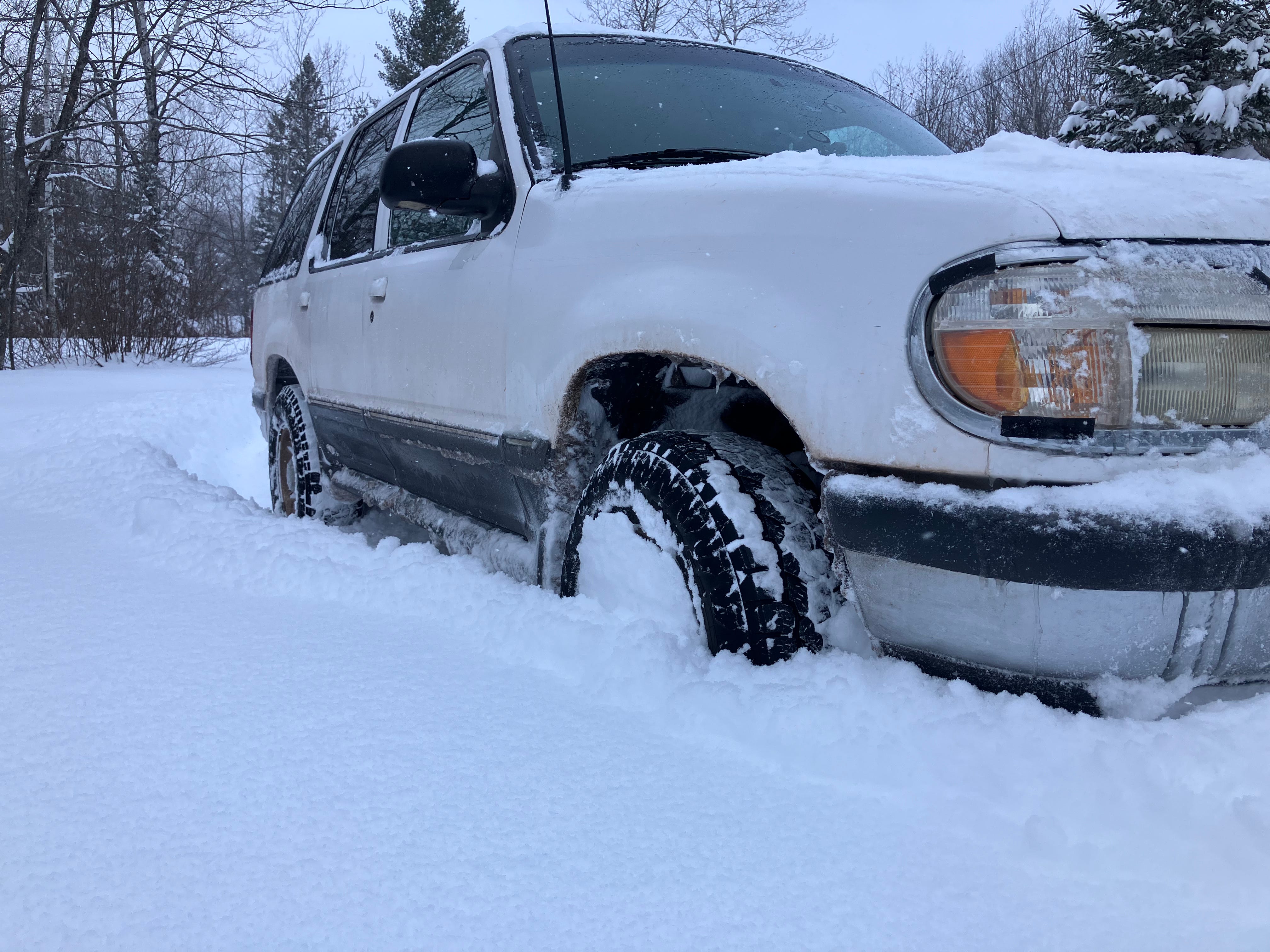
Winter is here and not going anywhere for awhile. It is certainly a welcome sight to all those who love winter and those businesses who rely on winter recreation tourism.
Over the last couple days we have seen mostly NW winds blasting across Lake Superior with a low sitting right up over lower Hudson Bay which has caused continuous snow banding from an alternating 20-30mph WNW to NW winds drawing moisture up off a cool Lake Superior. With this stalling of the low pressure system it has allowed these bands to hang around for awhile.
These bands of snow have been really impacting the areas of eastern Pictured Rocks lakeshore up to Whitefish point and Paradise and also right through Sault Ste Marie.
Winds did shift to a more Westerly for awhile yesterday which cut off most of the lake effect snow around Ironwood and further east into the central UP. Areas like the Keweenaw, Munising, Whitefish point, and the Soo continued to see lake effect snow banding.
Today we saw winds start to shift back into the NW and WNW and lake effect started to pick up early afternoon. These lake effect snow bands should bring us more snowfall totals into the 6-14 inch range across the UP in those snowbelts.
Guided U.P. Tours with Yooper Steve - UpperPeninsulaTours.com
Yooper Steve Amazon Store - My recommended Winter Wear
Sunday afternoon into Monday we should see snow start to let up a bit as the low pressure system starts to lift off. Don’t worry though starting Tuesday we have a clipper moving in and ahead we have some warmer advection that should allow for some light snow before we see the cold air mass moving in over Lake Superior Wednesday. Add in some brisk winds and that should drive some nice lake effect snow through the middle of the week maybe even into late Thursday.
I think we should see some of these north winds be able to push a bit further south bringing some light lake effect snow to areas that didn’t see much these last few days. Areas like Iron River to Iron Mountain and as far as Escanaba and Gladstone.
Looking even further into next week there appears to be another clipper moving in which could bring even more lake effect into the area for another blast for the weekend, but let’s hold off as things are still developing.
Keep reading with a 7-day free trial
Subscribe to The Yooper Report to keep reading this post and get 7 days of free access to the full post archives.