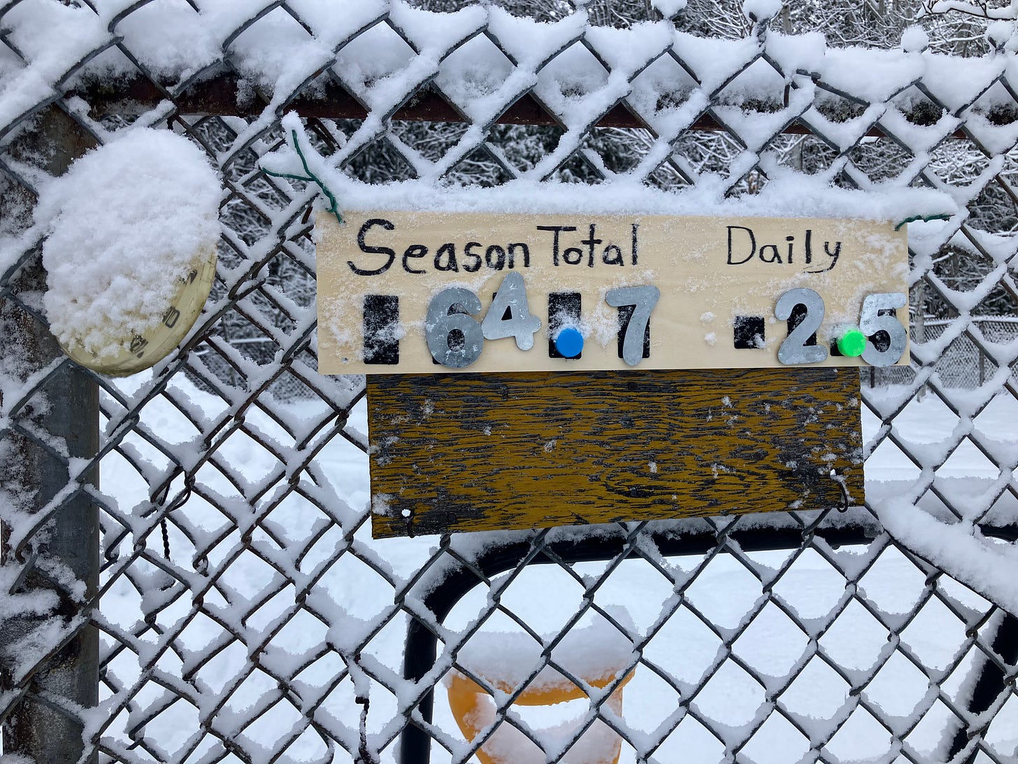
Loved how the snow was clinging to the tree branches today after a little light rain froze last night and some light fluffy snow accumulated across the Keweenaw.
Just going to post the snow totals for today and not do much of a write up today. Just another day of some light snow a lot fluffier than the previous day. Today things were really crusty and snow that was soft yesterday got hardened so if you didn’t clean up your driveway with all the soft slushy snow you really had a mess to deal with.
Above: Calumet/Tamarack weather station 12.10.24
Most snowfall happened where I was saying it would in yesterday’s update around the Keweenaw, a few areas in Marquette county and over by the Soo. Other places only saw a trace to a few tenths of an inch many no snow accumulations at all.
Some places down off of Lake Michigan shoreline don’t even have any snow on the ground, but perhaps these strong NW and N winds will be able to drive down a little left over lake effect snowfall.
We should see some strong lake effect snow bands through the Keweenaw from Painesdale to Calumet, the Michigamme highlands, and Marquette county and Alger county line to Shingleton area, even over towards H77.
Check out the FunintheUP Amazon Store - my recommended camping gear, winter clothing, Yooper rock hunting stuff, U.P. books worth reading
I want to thank everyone of you who are paid subscribers to the Yooper Report, with your support I am able to continue measuring 6 snowfall stations since 2010/11 winter.
If you are going to be buying anything on Amazon anytime in the next few weeks feel free to use my FunintheUP Amazon store link I get small commission on anything you purchase with no extra charge to you.
Thank you - Yooper Steve
Keep reading with a 7-day free trial
Subscribe to The Yooper Report to keep reading this post and get 7 days of free access to the full post archives.


